DondoN
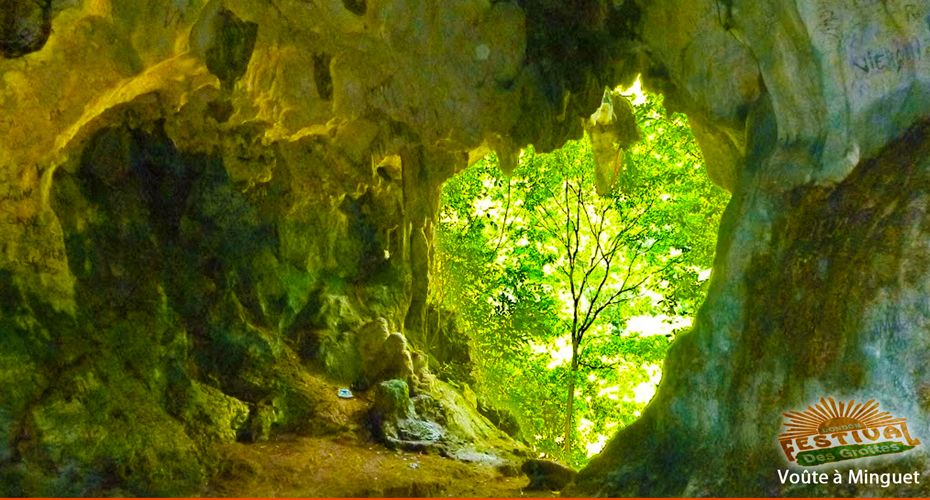
Dondon, located in the northern part of Haiti, is a modest but idyllic town, with more than 10 historic caves.
Dondon is located right below the Citadel Laferrière. With spectacular views, encircled by huge mountains, Dondon is the ideal place for eco -tourism. Dondon’s recorded history begins on September 11, …1698 when this paradisiac portion of land was given to filibuster surgeon André Minguet . Its Mountains display sloping rocks that sometimes lean on each other in perfect harmony or disharmony. The complete order or disorder of those masses are tangible manifestations of major earth agitations and changes. And Moreau de Saint -Mery was right to say, ” there is perhaps no place in the colony with a more picturesque site than this parish.”
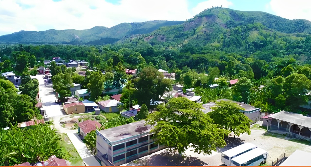
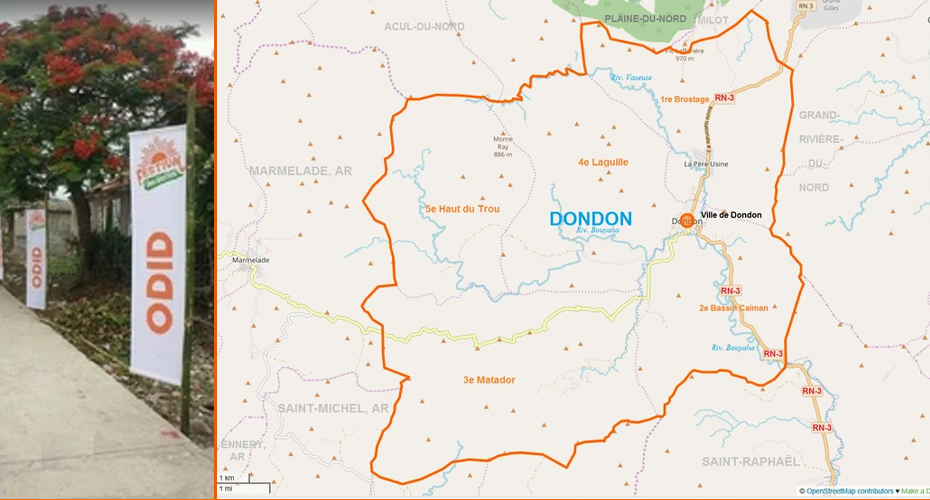
The village has a population of 30,000 people. It is situated at an altitude of about 425 m above sea level, is surrounded on all sides by mountains. Some of Dondon’s mountains are part of ” Bonnet a L’ Eveque ” ‘s mountains chain which houses the Citadelle Laferrière . The highest point of the municipality is located in Haut-du – Trou at 1028 meters above sea level. In general, the air is cool, temperate and healthy. Dondon is located in the department of Nord, about 30 km south from Cap- Haitien, and 290 km from Port -au- Prince (106 km by plane). Adjacent to the following municipalities: the Grande Rivière du Nord to the east, Saint- Raphaël (east and south), Saint -Michel de l’Attalaye (south and west), Marmalade (West) Acul North, the Plaine du Nord and Milot (north). Dondon is divided into five rural juridictions: Brostage, Bassin-Caiman, Matador, Laguille and Haut-du-Trou which is the highest point at 1028 meters above sea level.
NATURAL HERITAGE
The town was isolated and suffered for basic needs like water, food and healthcare. The weak infrastructure was further weakened. The housing stock was neglected and further deteriorated over time. ODID’s annual festival and social initiatives have been a source stimulus for improving the economic and social status of the community.
It is the history, the geography, the small stories mixed with the landscape and the hospitality of his sons and daughters, that have inspired (ODID) to work toward the betterment of Dondon worthy of its history and natural resources.